
Navigation - GPS
OPENING QUESTION: How do modern aircraft navigate around the world?
LEARNING TARGET: I will be able to describe GPS systems after today's class
WORDS O' THE DAY:
- Navigation: ("controlling the movement of a plane from one place to another")
- Dead Reckoning ("Navigation where you head in one direction at a particular speed for a certain length of time and hope you end up where you want to")
- Air Traffic Control - ATC
- VFR ("Visual Flight Rules" - The most basic 'rating' a pilot earns. VFR means you are ONLY allowed to fly when conditions are very good and you can see everything you need to see to EASILY navigate from one place to another WITHOUT having to use your navigation instruments.
- IFR ("Instrument Flight Rules" - The next most important 'rating' a pilot earns. IFR means you are allowed to fly in weather that does NOT allow you to see to navigate. In other words, you can navigate by instrumentation ONLY
- GPS - Global Positioning System
WORK O' THE DAY:
Before we dive into TFAD and GPS and such, let's see how well we recall our flight planning work that we did before the work.
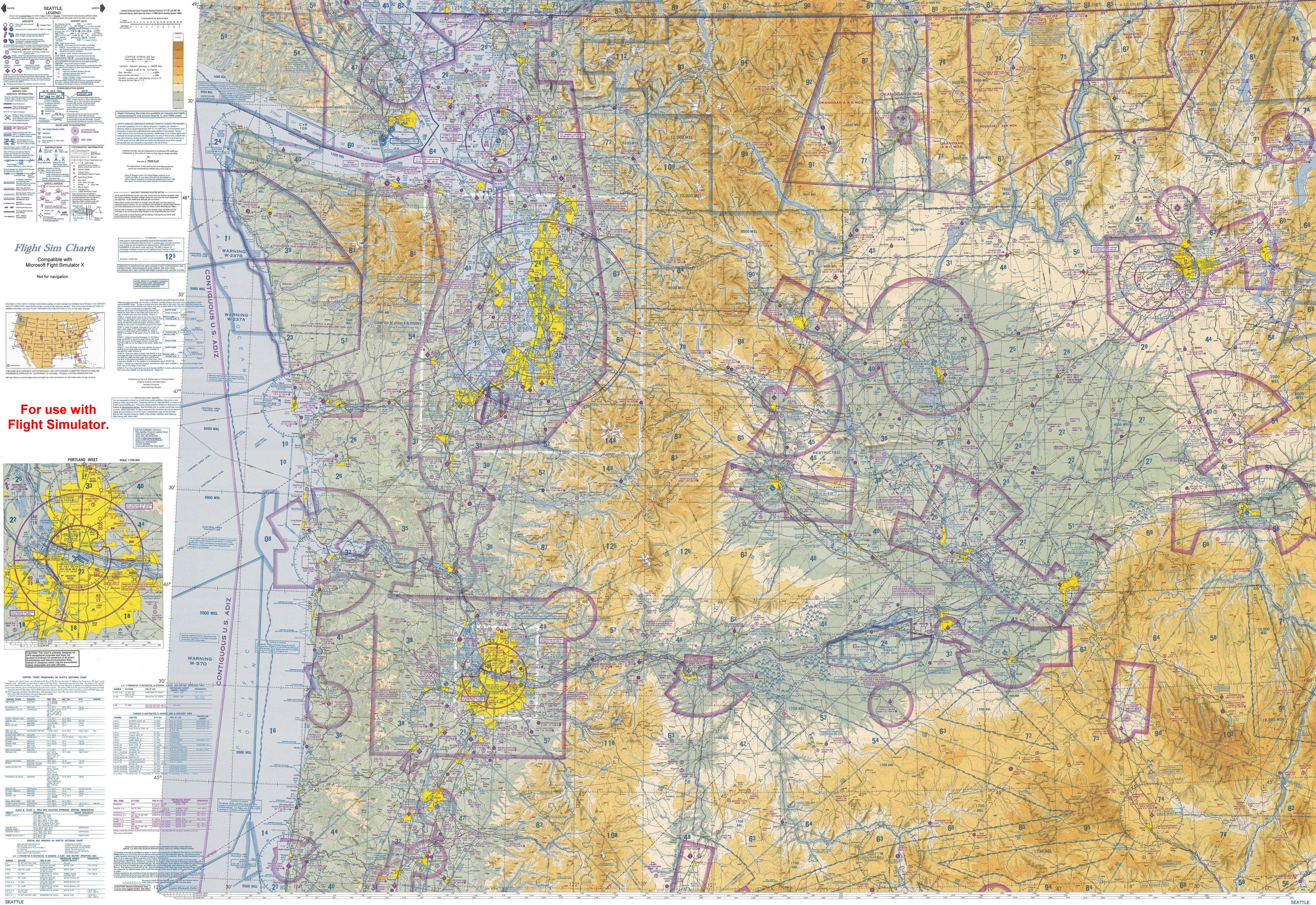
Work with a partner to file a flight plan (using our favorite map HERE) from Tacoma Narrows Airport to either:
Walla Walla, Washington
San Juan Island, WA
═══════════════════════════
Let's take a look at the TFAD Project HERE
═══════════════════════════
Since today is a short day we'll probably start with this tomorrow:
Let's start today's work by considering how GPS (Global Positioning System) might be used by farmers.
I was fortunate to take a big ol' cross country road trip a couple of summers back. I flew to Charleston, South Carolina, then I drove to visit friends in Chattanooga, Tn and then I stayed at a bed and breakfast in the *beautiful* rolling hills of central Kentucky.
I met a farmer there who said that modern farming was amazingly easy (with the right equipment) and he talked to me about the importance of GPS in farming. I wanted to go to New Orleans but a hurricane blew in and chased me up through Indiana, Illinois and up to Wisconsin. Then I just had to see the bats in Ausin, Tx but that's another story!
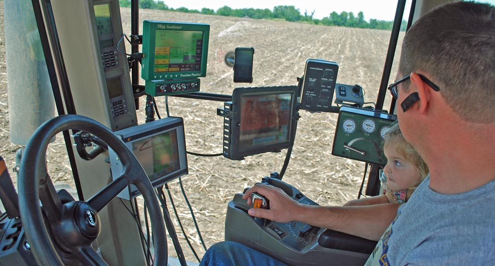
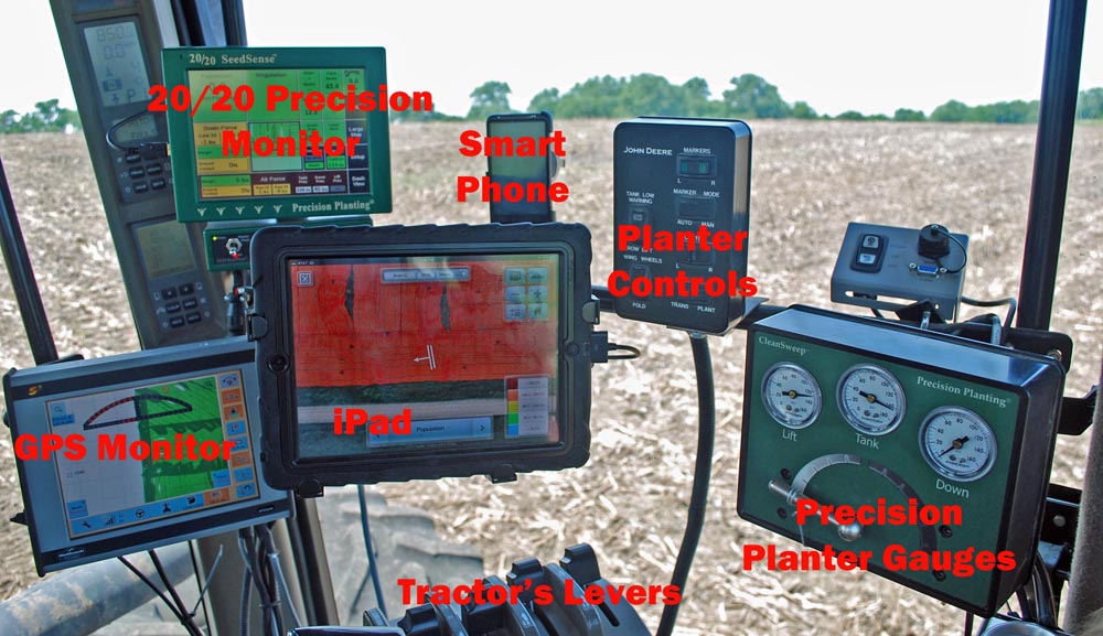
Take a look a THIS poster and suggest a farmer might use GPS:
═══════════════════════════
Soooooo....
If a farmer uses GPS in planting crops in rows, that means that the accuracy provided by the GPS must be within a few inches!!!
Imagine that, Satellites thousands of miles above the Earth sending information down to a farmer driver a rig to plant crops:
Do you suppose that same amount of accuracy is available to aircraft?
There are *obvious* advantages to having such an incredibly accurate and easy-to-use system (I hope!)
However, there MAY be some disadvantages too... (in fact there are!)
Now let's review our Teacher For A Day (TFAD!) project HERE